2 Abdelaziz Nassar St, Fakhama Towers, behind the International Canal Market, Gesr El Suez
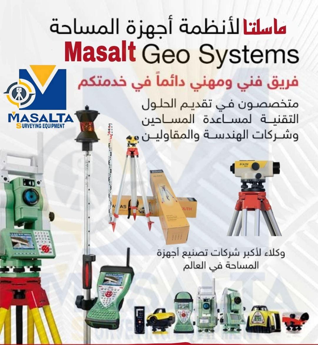
Masalta Surveying Equipment Systems
Masalta Surveying Equipment Systems
vision
Masalta Surveying Equipment Systems aims to become a leading company in surveying engineering and infrastructure at the level of the Arab Republic of Egypt
our vision
In view of the development that the world is witnessing in the field of surveying and its techniques, and the development that Egypt is witnessing in this field
We had to keep pace with this development and this through:
* Providing a distinguished service for workers and those interested in the field of surveying and making it close to them and within their reach.
* Providing all that is new from modern and advanced surveying equipment.
* The use of advanced surveying equipment in the implementation of projects across Egypt.
* Training engineers and technicians to raise their skills to increase production efficiency and face future challenges.
Message
Masalta Surveying Equipment Systems is committed to providing a high level of performance in the work assigned to the company according to quality standards. The company is keen to satisfy its customers and is keen on the continuous development of employees, devices and equipment to maintain technical expertise and competencies through continuous training and upgrading the company's level in speed of performance, accuracy and excellence in work.
main activities
space and layout
• Production of digital and detailed maps of cities and villages using satellite receivers
• (GPS) and integrated monitoring stations (Total Station).
• The work of longitudinal and grid budgets and the calculation of the quantities of dust (excavation and backfilling).
• Planning and preparation of division projects.
• Sale and maintenance of surveying equipment
• Supply of surveying equipment (- GPS Level - Total Station)
• Supplying wooden and telescopic stands + holders + poles + measuring tapes + all equipment accessories.
• Repair and maintenance of electronic and optical surveying devices
• Training courses on the latest surveying equipment and software
• Training on surveying equipment (- GPS Level - Total Station)
• Training on engineering and surveying programs (Autocad - Civil 3d - Surfer
Services
Preparing cadastral plans for residential, agricultural and industrial lands.
Divide the charts, cut them on the ground, and number them.
Do a study of survey projects.
Making contour charts and calculating quantities.
Dividing the breaks and adopting their plans.
Design, planning and follow-up of residential, agricultural and industrial lands.
Modern satellite equipment.
Drawing diagrams automatically by computer.
The office is approved by all government agencies.
Linking charts to international coordinates via satellite.
An electronic copy of the work can be obtained for reference when needed